Google pulls AI-powered Google Earth feature after backlash
Researchers demonstrated that the tool could generate convincing fake satellite images, from a bomb crater next to a hospital in Gaza to a nuclear plant in Iran.
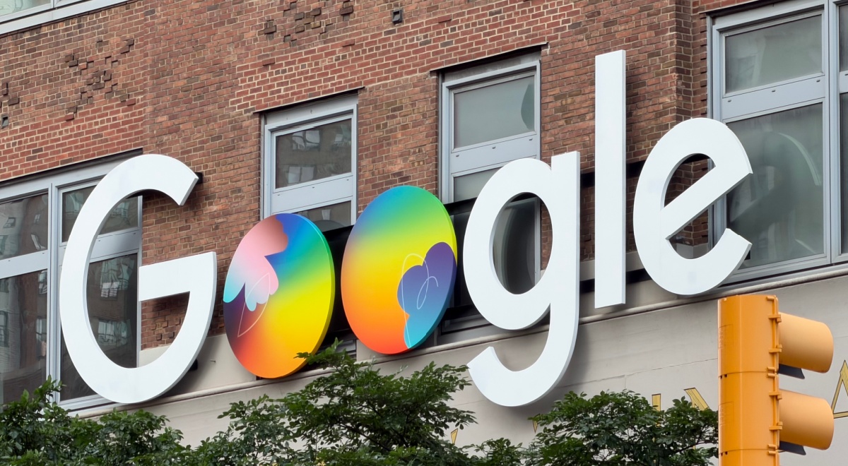
The Google logo and a traffic light in New York, NY. Photo by VCG/VCG via Getty Images

 Follow us
- Google removed a new AI image tool from Google Earth one day after launching it following misinformation concerns.
- The feature let users create AI images tied to real locations using Google Earth imagery and text prompts.
- Researchers showed the tool could generate convincing fake scenes, including disasters, military sites, and border incidents.
- Google said some shared images violated its policies and promised stronger safeguards before restoring the feature.
Key Takeaways by nexos.ai, reviewed by Cybernews staff.
Google has rolled back an AI image-generation feature introduced to Google Earth just a day earlier after backlash over its potential to spread misinformation.
"We've seen geospatial professionals using this feature for a range of useful purposes," Google said in a statement on X. "However we've also seen people sharing screenshots of generated imagery that appear to violate our policies. So we're rolling back this feature in Google Earth while we work on implementing stronger guardrails."
The statement also said: “We know that people uniquely trust Google Earth for a reliable view of the world.”




The tech giant did not specify which images violated its policies but said they were not part of the main Google Earth experience and were watermarked as AI-generated.
The feature, powered by Google's latest AI image-generation model nicknamed "Nano Banana," launched on Thursday.
Google said it lets users generate AI images using Google Earth's satellite, aerial, and 3D imagery with text prompts. “Just zoom in to a place in Google Earth on web, tap ‘create image,’ and type whatever you want to see,” the company explained.
According to Google, it allows users to “visualize what your city looked like a century ago, reimagine an empty lot as a community garden, brainstorm professional real estate plans, and more.”
But critics were concerned. Security researchers warned the feature could be exploited to generate convincing yet fake satellite imagery, fueling misinformation and disinformation.
For example, open-source intelligence researcher Henk van Ess managed to use the technology to generate fake images of refugees near the Mexican border, a nuclear plant in Iran, a fatal car crash in Amsterdam, and a bomb crater next to a hospital in Gaza.
“What on earth is Google doing?” he asked in a blog post describing the findings.
Following the backlash, Google defended the feature by saying every AI-generated image carries an invisible SynthID watermark and pointed to its AI policies.



Stay updated with our latest stories and follow us on social media
Be the first to discover new stories, ideas, and updates from our team.
However, researchers and AFP demonstrated that the tool could generate convincing fake satellite images tied to real-world locations: from floods to explosions and military sites.
Following the rollback, the "create image" button disappeared from Google Earth.