Beyond Musk’s Starlink: these satellites run our daily lives with precision
Have you heard of Galileo or Copernicus's satellite networks? Even if the names don’t ring a bell, chances are you already use them.

Image by Cybernews
Have you heard of Galileo or Copernicus's satellite networks? Even if the names don’t ring a bell, chances are you already use them.
What powers the geolocation system used by your food delivery app or other location-based services? Or provides the satellite images you see in the media? Or helps scientists prove that climate change is real?
All this data comes from European satellite networks, aptly named after renowned astronomers Galileo and Copernicus. These networks provide the most accurate and extensive satellite data worldwide and are free of charge.
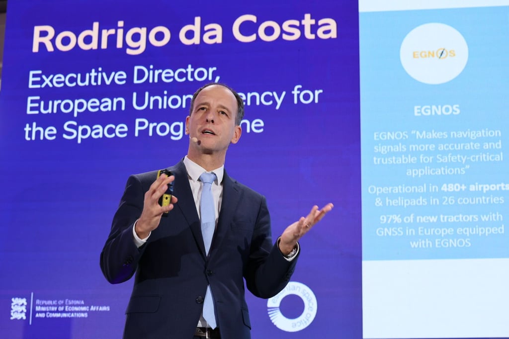
In the corridors of the SDSC 2024 conference in Tallinn, Estonia, I met Rodrigo De Costa, Executive Director of the European Union Agency for the Space Programme (EUSPA). He explained why everyone should know about the Galileo and Copernicus satellite networks and revealed what is at the core of the space economy.


If you have a cellphone in Europe, you’ve tried Galileo
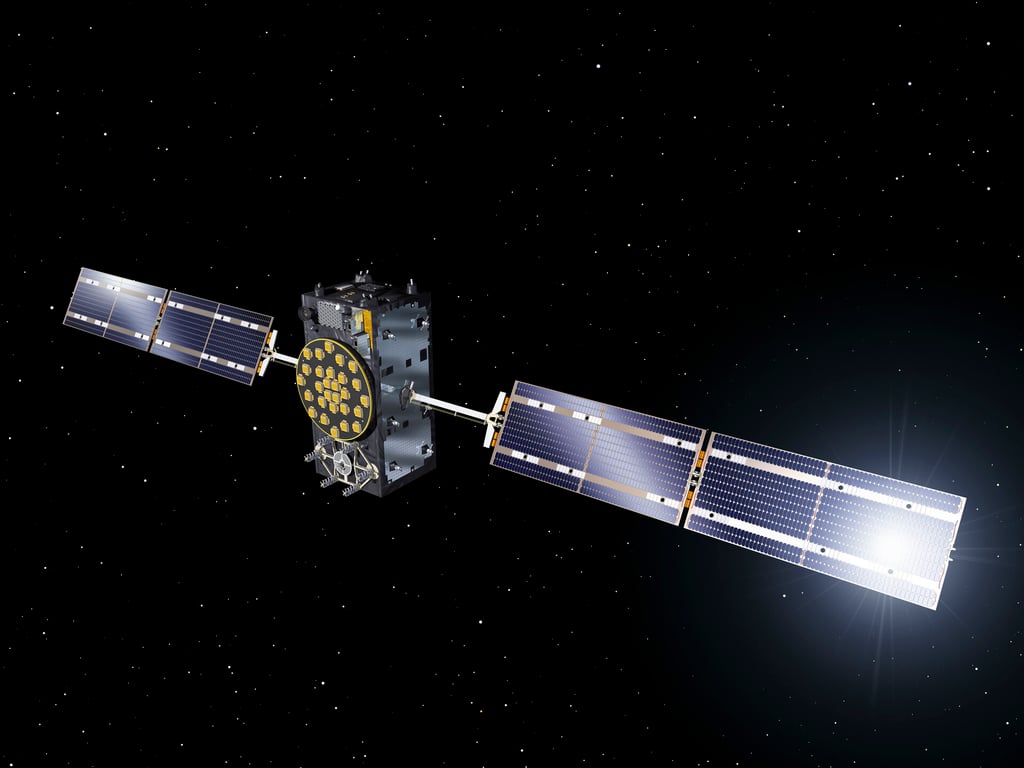
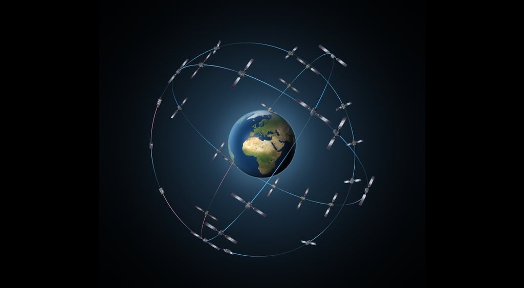
Galileo is a satellite navigation system similar to the US-made Global Positioning System (GPS). Since its launch in 2016, the service has had around four billion users, and all smartphones sold in the European market are Galileo-enabled.
The Galileo network, fully funded and owned by the EU, is four times more accurate than GPS. It can provide location with 20cm accuracy, which is extremely useful for autonomous vehicles and rescue operations.
The network is also more accurate than other global navigation satellite systems (GNSS), including Russia's GLONASS and China's BeiDou. However, De Costa notes that legacy satellite systems are better known.
“The first one to arrive has a certain advantage. It’s true that GPS has been there for longer than Galileo. It's about 30 years older, so it’s normal that the word GPS is not only used for US global positioning satellites, but for GNSS in general,” he explained.
Copernicus proves that climate change is real
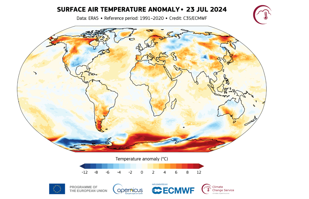
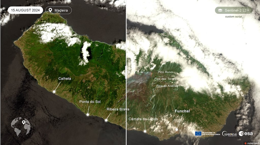
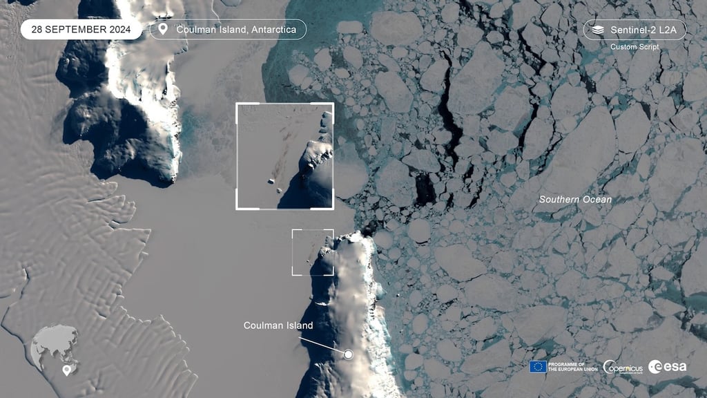
Another of Europe’s flagship space programs is Copernicus. Previously known as GMES (Global Monitoring for Environment and Security), Copernicus is the Earth observation program.
The eight Copernicus Sentinel satellites in orbit and additional infrastructure produce terabytes of free and open data daily, providing critical insights into the state of the Earth's surface.
The range of Copernicus’ use cases is vast, from monitoring air quality at street level in cities to responding to natural disasters. It also includes transit data, monitoring of oceans, the environment and crops, and finally, ensuring land security.
“Between Copernicus and Galileo, there are great synergies in case of disasters. This year, Portugal was targeted with wildfires. At the same time, we had big floods in Central Europe. The Czech Republic, Slovakia, Germany, Austria, Poland. They all activated emergency service at Copernicus to get up-to-date images of flooded areas,” said De Costa.
Copernicus is crucial in addressing climate change. It provides detailed data on glacier and sea ice melting and surface temperatures and creates climate forecasts.
“It was thanks to data from Copernicus that scientists could prove without margin for doubt that there is climate change. Climate change is not a theory. Climate change is not a belief. Climate change is a reality,” explains De Costa.
What’s Europe’s standing in space compared with the US and China?
De Costa believes that Europe is as strong a player in space as the US, China, and Russia. Given growing geopolitical tensions, he emphasizes the need for secure communications and space sovereignty.
“As we move forward our security becomes more and more a point of attention as well as concern. There is a clear understanding at a leadership level that space contributes to that security,” he explains.
China has already announced plans to challenge Starlink, the largest satellite network in the world with over 6,000 satellites in orbit. By the end of the decade, China plans to launch 14,000 satellites.
Meanwhile, Europe is working on its own satellite constellation, IRIS2, which will be deployed by 2027. It’s designed to service government agencies and private entities.
“Satellite communications give you a backbone when everything else fails. You have an earthquake, you have a fire, you have a flood. Your communication installations and the antennas on the ground may be destroyed. How are you going to communicate? Space is there to provide a backup.”
The private sector is at the core of the space economy
Another key element of Europe’s satellite programs' success is its openness to business, which, according to De Costa, promotes innovation.
“Think of Galileo and Copernicus a little bit like an energy or a water system.“ explains De Costa. While the public sector builds all the satellite infrastructure, the private sector can build market-ready products to contribute to the space economy and expand business worldwide.
Such a strategy has proved successful, as the EU continues to support space startups, providing them with much-needed training and funding.
“The objective is that the public sector or the state should not do everything,” says De Costa.
“When it comes to creating added value on space infrastructure, the private sector is much better positioned than us. The private sector knows users better, and they know the problem that they’re trying to solve with an application better.”
Much space-sourced data is used in the transport sector, such as road, railways, aviation and drones, and maritime. The agriculture, forestry, and fishing industries are also active users.
“The insurance sector, by the way, has a big potential for growth in terms of use of space. Due to climate change and climate adaptation, the medical/pharmaceutical sector is also increasingly using space data,” says De Costa.